
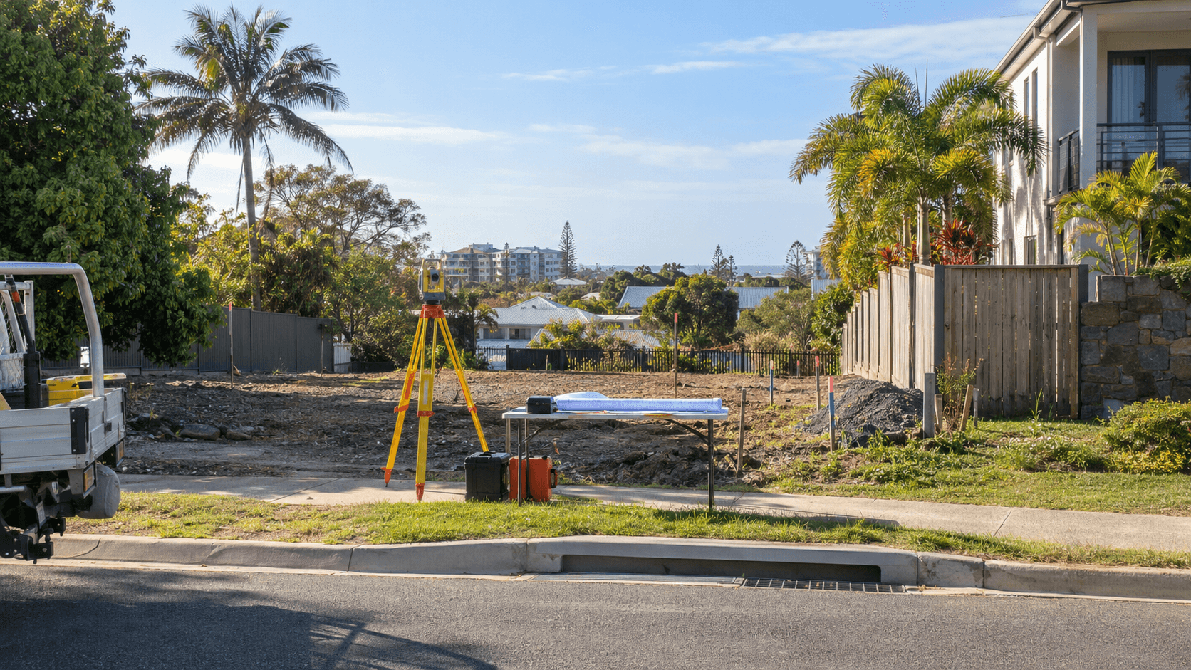
Due diligence · Sunshine Coast
Maroochydore development site civil due diligence: access, drainage and servicing checks
A practical Maroochydore development-site review covering constrained urban access, stormwater, services, levels and construction staging before you commit to design or purchase.
Project question?
Check the civil constraints before committing to your next step.
Send CivilCity the address, current plans, approval stage and the issue you are trying to resolve. We will help scope the right civil engineering input for the project.
Quick answer
For a Maroochydore development site, do not treat site area or a neat concept plan as proof of feasibility. First test whether vehicles can use the frontage, the proposal can sit at workable levels, stormwater has a credible discharge path, and water and sewer services can reach the intended lots or buildings without consuming the space needed for access and construction.
Maroochydore's established urban sites can have compact frontages, existing driveways, older services, low points and limited room for staging. The sensible decision may be to proceed, redesign, commission targeted investigation or stop before detailed design. A civil review informs that choice; it does not replace planning, surveying, geotechnical, legal or authority advice.
Why Maroochydore context changes the review
A coastal urban site may look flat while still having a controlling drainage level, an overland-flow route or a frontage constraint. Existing houses, mature landscaping, kerbs, pits, shared access and neighbouring driveways also limit where new infrastructure can go. On denser sites, the construction path matters early: a drainage or service solution that is theoretically possible may be impractical once excavation, protection and access are considered.
Start with the Sunshine Coast Planning Scheme, Council mapping and Development.i records, then test what they mean for the actual proposal. A mapped constraint is a reason to investigate—not a measured flood level, confirmed capacity or approval outcome.
Maroochydore site-screening decision table
Use this first-pass table before paying for detailed design or relying on a feasibility model.
| Question | Evidence to seek | How it can change the project |
|---|---|---|
| Can vehicles enter, leave and build safely? | Frontage, sight distance, crossover, grades, turning and construction access | May move the driveway, reduce yield or require frontage works. |
| Where will stormwater go? | Contours, low points, upstream flow, downstream system and lawful discharge options | May change finished levels, building pads, detention or layout. |
| Can services reach the proposal? | Water and sewer records, authority advice, easements and shared corridors | A crossing, extension or protection requirement may change cost and timing. |
| Can works be staged on a compact site? | Excavation, stockpile, temporary access, protection and neighbour interfaces | A construction constraint may require sequencing or a different civil solution. |
| What happens after planning approval? | Likely conditions, operational-work triggers and required civil evidence | Prevents a paper approval becoming an unbudgeted delivery problem. |
Example: a compact site with three competing corridors
Consider an illustrative Maroochydore infill site where a two-dwelling concept fits the available area. The preferred driveway occupies the narrowest frontage, the lowest point sits beside the proposed parking, and the apparent service route crosses the same side corridor. The right first step is not to shrink the buildings blindly; it is to confirm the survey, inspect the kerb and drainage context, check title and easements, and obtain the information needed to test the service route.
The team can then compare a shifted driveway, revised finished levels or a different staging arrangement. If the discharge or service connection remains unconfirmed, record it as a feasibility dependency rather than pricing it as a routine connection. That distinction protects the purchase and design decision.
Common mistakes that cost money
Aerial imagery does not establish asset levels, lawful discharge, sight distance or the condition of an existing connection. An existing driveway or stormwater inlet also does not automatically transfer to a new use, subdivision or increased impervious area.
Another common mistake is giving the planner, architect and engineer different concepts. Use one dated layout and state the minimum acceptable outcome. Otherwise access, drainage, servicing and building design can appear compatible until the project is expensive to change.
Checklist for your project brief
Send CivilCity a focused package so the review tests the decision that matters.
- Address, lot and plan, contract timing and decision deadline.
- Title, easements, covenants, available survey and site photographs.
- Intended outcome: retain, develop, subdivide, lodge, tender or construct.
- Dated concept showing buildings, parking, driveways, retaining and likely drainage paths.
- Photos of the frontage, kerb, pits, low points, existing connections and neighbouring interfaces.
- Council correspondence, previous approvals, Development.i records and pre-lodgement advice.
- Known water, sewer, stormwater, power and telecommunications information.
When CivilCity should be involved
Involve CivilCity before purchase, before fixing the yield or before lodging the application. CivilCity can scope a desktop constraints review, site inspection, preliminary civil report or targeted assessment of access, stormwater, levels, earthworks and servicing.
Send the address, concept, title and deadline. CivilCity will identify the evidence still needed, coordinate civil questions with the planner, architect and surveyor, and define the next deliverable around your decision.
Common questions
Does a Maroochydore planning map prove that a site is developable?
No. Mapping and planning controls identify potential constraints, but the proposal still needs site-specific checks for access, levels, stormwater, services, easements and construction impacts.
What is the biggest civil risk on a compact Maroochydore site?
It is often the interaction between frontage access, finished levels, drainage and services. A concept can fit in plan while failing when the driveway, overland flow path and utility corridor are tested together.
When should a civil engineer be involved?
Before purchase, before fixing the yield and before lodging an application, while the access and drainage strategy can still change without redesigning the whole project.
Can CivilCity guarantee approval or a lawful discharge point?
No. CivilCity can identify evidence gaps, test feasible options and define the next investigation. Council, utility and other authority decisions remain proposal-specific.
Official sources and further guidance
- Sunshine Coast Development.i
- Sunshine Coast Planning Scheme 2014
- Sunshine Coast Council: operational work
- Sunshine Coast flooding and stormwater management guidelines
- Unitywater: developing and subdivisions
Use the current requirements for your property and proposal. Illustrative scenarios describe possible design issues; they are not reported client projects.
Discuss your project
Discuss a Maroochydore development site
Send CivilCity the site details, concept and decision deadline so access, drainage, levels and servicing risks can be scoped before they become redesign costs.