
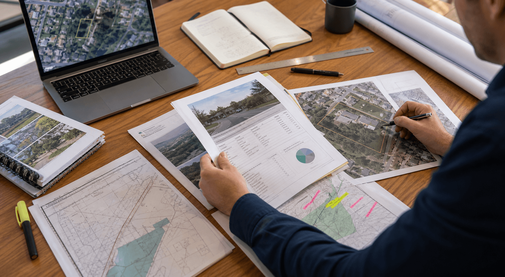
Due diligence · Sunshine Coast
How to read a Sunshine Coast Council site report
A plain-English guide to Sunshine Coast Council site reports for zoning, overlays, mapping, property information and early development due diligence.
Project question?
Check the civil constraints before committing to your next step.
Send CivilCity the address, current plans, approval stage and the issue you are trying to resolve. We will help scope the right civil engineering input for the project.
Short answer
A Sunshine Coast Council Development.i site report is a useful first screen for property development due diligence. It helps you identify zoning, overlays, application history and links to other mapping or property information.
It should not be treated as the final answer. It should be used to decide what needs checking next.
What to read first
Start with the property details, zone, local plan area, overlays and any mapped development constraints. Then look for current or past applications on the property and nearby sites.
If the report points to flooding, environmental constraints, infrastructure, water, sewer or mapping layers, follow those links and note what may affect the civil design.
How civil engineers use it
CivilCity uses site reports to frame early questions about access, stormwater, services, easements, flood risk, slope, earthworks and construction practicality.
For example, a flood overlay may trigger questions about levels and access. A service corridor may trigger questions about building location or subdivision layout.
What the report will not solve
A site report does not replace a survey, title review, services investigation, flood assessment, stormwater design or planning advice. It also may not show the practical impact of a constraint on your proposed layout.
Use it as a map of likely issues, then test the commercial and technical consequences.
Convert the report into questions for the right consultant
Check the address and lot-and-plan details before interpreting the results, particularly where a property spans multiple parcels. Save the report date and follow the linked mapping at a useful scale. Then overlay your proposed buildings, access and works concept on a surveyed base. A constraint remote from the proposed works may have a different effect from one crossing the only practical driveway. The report helps direct the investigation; it cannot show that the intended layout is buildable.
| Decision or stage | Evidence to check | Practical outcome |
|---|---|---|
| Zone and local plan | Ask the planner which provisions apply to the intended use. | Confirm the pathway before detailed design. |
| Mapped hazard or value | Locate the proposal relative to the mapped extent. | Scope the appropriate specialist assessment. |
| Infrastructure information | Compare available records with the proposed works. | Investigate location, levels, capacity and authority requirements. |
Example: mapping becomes an investigation brief
A report may identify a flood overlay and show infrastructure information near the rear boundary. The next step is not simply to label the property high risk. Locate the intended building, driveway and earthworks relative to those features. Ask what survey levels and flood information are needed to test the proposal, and whether the mapped service position needs field verification. The resulting brief might prioritise a frontage-to-rear level survey and an outlet investigation before a detailed concept. That is a more useful response than either abandoning the site on the map alone or assuming the mapped constraints can be designed around later.
Checklist for your project brief
Use these points to define the next investigation or consultant deliverable.
- Bring the full report and linked map references, not just a zoning screenshot. Identify the proposed use and any assumptions about lot or dwelling yield.
- Ask for an action list assigning each issue to planning, survey, engineering, legal or a specialist discipline. Avoid treating every map layer as a civil-design task.
- Update the screen if the concept or relevant planning material changes. Retain the earlier report as a record of what the original decision relied on.
How CivilCity helps
CivilCity can review a site report with the development idea in mind and identify the civil engineering questions that should be answered before purchase, lodgement or detailed design.
That turns a long report into a short action list.
Common questions
What does a Development.i site report show?
Council describes it as a convenient way to access general town planning details for a property, including planning scheme zoning and overlay information, application information and links to mapping and service information.
Is the site report enough for development due diligence?
No. It is a strong starting point, but you still need site-specific planning, survey, title, infrastructure and civil engineering review.
What should I check first?
Start with zoning, overlays, lot details, mapped constraints, nearby applications, service information links and any obvious flooding or infrastructure information.
Official sources and further guidance
Use the current requirements for your property and proposal. Illustrative scenarios describe possible design issues; they are not reported client projects.
Discuss your project
Engineering due diligence
Send the address, intended outcome and decision deadline for a focused engineering scope.