
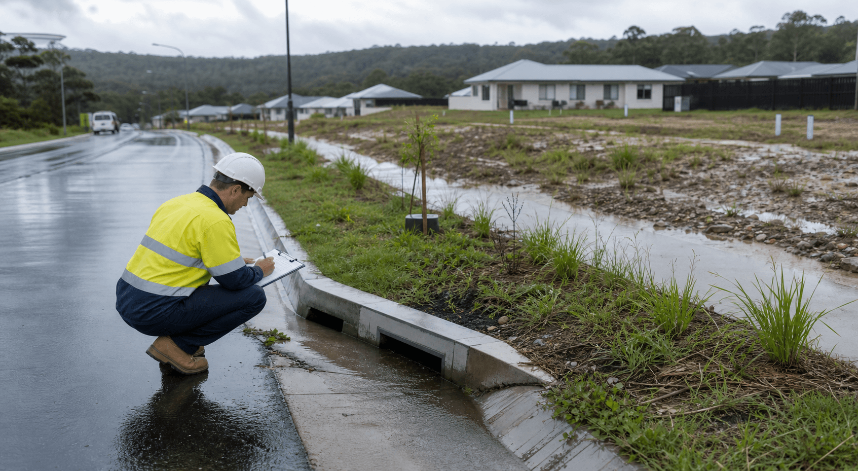
Stormwater · Sunshine Coast
Flood overlays and development risk on the Sunshine Coast
A Sunshine Coast developer guide to flood overlays, overland flow, levels, access, stormwater and feasibility risk.
Project question?
Check the civil constraints before committing to your next step.
Send CivilCity the address, current plans, approval stage and the issue you are trying to resolve. We will help scope the right civil engineering input for the project.
Short answer
Flood overlays do not always stop development, but they can change the cost, layout and approval risk of a Sunshine Coast project. They are one of the first mapping layers to check during due diligence.
A flood issue is rarely only about water depth. It can affect levels, access, drainage, earthworks and whether the project is commercially sensible.
What to investigate
Check council mapping, Development.i site report information, flood and overlay layers, existing drainage paths, road levels, finished floor level assumptions, downstream infrastructure and any visible overland flow routes.
If the site is low, flat, near waterways or crossed by mapped flow, get technical advice before assuming a standard layout will work.
Civil design impacts
Flood constraints may require higher building platforms, changed driveway grades, more earthworks, adjusted stormwater design, revised building positions, different access arrangements or more detailed assessment.
Sometimes the issue is not the building footprint. It is the driveway or service corridor that sits in the constrained area.
Commercial risk
Flood-related redesign can reduce yield, add engineering reports, increase construction cost and lengthen the approval programme. It can also affect finance and buyer confidence if the issue appears late.
The right response is not panic. It is early clarity.
Check access and off-site effects alongside floor levels
Raising a building pad may improve one part of a proposal while displacing flow or making access harder elsewhere. A flood response should consider the proposed works as a system, including boundaries and neighbouring land. Illustrative scenario: a low-lying site has a possible elevated building area, but the only driveway crosses a flow path. The feasibility question includes access performance and the effect of filling, not merely the height of the finished floor. Obtain site-specific assessment before concluding that extra fill resolves the risk.
| Decision or stage | Evidence to check | Practical outcome |
|---|---|---|
| Building and pad | Relevant flood information, levels and proposed filling. | Test the development response against the applicable criteria. |
| Access route | Road and driveway levels along the whole route. | Identify where inundation or flow affects access. |
| Neighbouring land | Existing and proposed flow paths and storage. | Assess whether works alter off-site flood behaviour. |
Questions to ask about the assessment scope
Ask which flood mechanisms and scenarios are relevant to the property, what information is already available and what additional analysis is needed. Confirm whether the work addresses building levels, access, off-site impacts and the proposed earthworks, or only one of those matters. Distinguish mapped screening information from a site-specific conclusion. If a proposal is revised, ask whether changed fill, walls or drainage invalidate earlier assumptions. The commercial output should identify which layout options remain supportable and what evidence is needed next. This helps the developer avoid buying additional design work before the controlling flood question has been resolved.
Checklist for your project brief
Use these points to define the next investigation or consultant deliverable.
- Identify the flood information, model version and assumptions used. Council publishes guidance and updates that need to be considered in the assessment scope.
- Ask whether the concept needs specialist flood modelling in addition to ordinary site drainage design. A stormwater pipe calculation does not answer every flood question.
- Compare alternatives before fixing levels: relocating buildings, reducing fill or changing access may be preferable to adding more retaining and drainage infrastructure.
How CivilCity helps
CivilCity can review flood and drainage constraints, coordinate stormwater and access implications, and help identify what further technical work is needed.
For developers, the useful output is a practical risk picture: what appears manageable, what needs specialist assessment and what may change the feasibility.
Common questions
Does a flood overlay stop development?
Not automatically. It can change the design response, required evidence, finished levels, access strategy, stormwater approach and development feasibility.
Why does flooding affect civil design?
Flooding can affect site levels, driveways, evacuation or access assumptions, stormwater discharge, earthworks, retaining and where buildings or services should be located.
When should flood overlays be checked?
Before buying the site or fixing the layout. Flood and overland flow issues can change the entire development strategy.
Official sources and further guidance
- Development.i site report
- Interactive mapping
- Sunshine Coast Planning Scheme 2014
- Council flooding and stormwater guidance and updates
Use the current requirements for your property and proposal. Illustrative scenarios describe possible design issues; they are not reported client projects.
Discuss your project
Stormwater and drainage design
Send the survey, concept and relevant conditions so the drainage question can be scoped.